 Are your dispatchers as efficient as they could be? Using a GIS system, your dispatchers and operators can save time and anticipate needs with accuracy. Smart maps provide situational awareness, increased planning capabilities, efficient field operations and improved data management and analysis. Let’s look at the benefits of connecting your dispatchers to a powerful mapping solution.
Situational Awareness
The key to streamlined dispatching is access to real time data and a comprehensive understanding of a situation. A GIS map can display all the data a dispatcher needs, such network infrastructure and technician location. Integrate your map with other systems and your dispatchers can see trouble and service history, customer information and technician availability. These features help dispatchers rapidly process and share information, resulting in better customer experiences and improved workflows.
Planning Capabilities
Once your dispatcher has a complete view of the situation, it’s time to put technicians into action. A Visual Operations Systems (VOS) like M4 Solutions brings data into the map. This visualization enables dispatchers to proactively map out and analyze data to anticipate the right course of action. Your dispatchers can monitor each ticket’s status and identify bottlenecks before they occur. A bird’s eye view of the network means accurately communicated data and quicker response times.
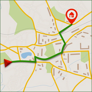
Operations in the Field
Save your dispatchers time by eliminating the need for technicians contact the office for more information. A mobile GIS provides technicians with independence in the field by granting access to vital data right on their mobile phones or tablets. Field technicians can quickly find the information related to their current service order or trouble ticket, as well as related history. This reduces the need for phone calls and emails requesting information between departments, as everyone can access the same, up-to-date system.
Data Management and Analysis
Dispatchers require access to many sources of data that are commonly maintained in separate databases by individual departments. An integrated solution like M4 dynamically shares information with a variety of systems to ensure data accuracy and visibility. Spatially storing and maintaining this data in the map allows your team to access and assess information in context. Even better, it compiles all the data needed to generate reports quickly and easily.
By connecting dispatchers to a smart mapping solution, a GIS increases efficiency, streamlines operations and reduces response time for customers. If you want to learn more about what a powerful mapping solution like M4 can do for you, email us today